

Gaza farmers begin the hard work of rebuilding an agricultural sector decimated by Israel’s genocide
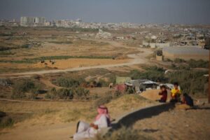
Destroyed buildings and damaged farmland are seen following the Israeli war in Nuseirat, central Gaza, 14 May 2026
Ansam al-Qitaa reports in Mondoweiss on 8 June 2026 :
The two plots of land that Jalal Arafat has owned for decades sit on either side of the line that has redrawn Gaza’s map following the ceasefire in October 2025. One lies beyond reach, three meters from what is now known as the “Yellow Line,” which cuts Gaza roughly in half. The other, 800 meters further out, was used as the location for Israeli army barracks during the invasion of Gaza City’s al-Zaytoun neighborhood.
When the hostilities paused near the second plot, Arafat returned, despite warnings. The area had been reduced to what he described as “destroyed sand dunes.” Despite this abysmal state, he cleared the land with the help of his sons, leveled it, and planted fig and olive trees, which were chosen for their need for little water and for their ability to survive on what reaches them from underground.
Across the besieged strip, dozens of farmers are doing the same. They walk back to fields covered in rubble, tank tracks, and unexploded ordnance. They carry water on their shoulders across long distances. They do it because for many, this is all that remains.
Some are aided in this endeavor by Gaza’s Ministry of Agriculture, which launched an emergency land reclamation project in May in the southern Gaza neighborhoods of al-Mughraqa, al-Sheikh Ajleen, and parts of al-Zaytoun in partnership with the Palestinian Agricultural Relief Society, the Agricultural Relief Society, the Cooperative Association for Grape and Vegetable Producers, and Oxfam.